We and our partners use technologies, such as cookies, to recognize you and show you more of what you like. Please read our Privacy Policy to learn more. By using this website you agree to the use of those technologies.
I agree.
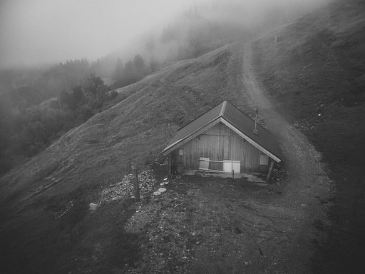
Hahnenkamm is a mountain located in Austria and part of the Kitzbühel Alps. Its peak is located at 1712 m a.s.l. The Hahnenkamm is part of the Kitzbühel ski area and annually (starting from 1931) hosts on its slopes the Hahnenkamm trophy, which has also been included in the Alpine Ski World Cup circuit since its inception (1967).
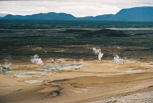
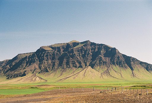
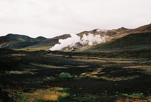
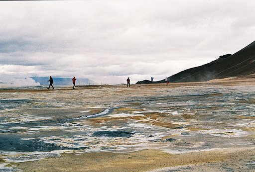
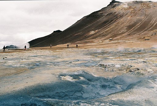
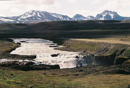
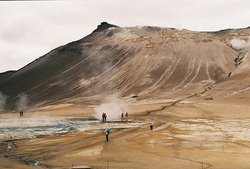
La région du lac Myvatn comprend plusieurs centres d'intérêt : La zone volcanique du Krafla, dernière zone d’activité autour du lac, le site de Dimmuborgir , spectaculaire champ de lave avec notamment les célèbres « châteaux de lave », et l’impressionnant site géothermique de Hverir , situé au Nord-Est du lac Mývatn et surplombé par le mont ocre Námafjall. Le H2S emplit l'air, on marche entre les solfatares, les marmites de boue, sur un sol ocre souffré. L'ascension du mont est rude dans ses premiers mètres et la respiration courte, mais la vue vaut la sueur dépensée. La descente côté sud est risquée, le chemin disparait au milieu des scories, on se prend à imiter le skieur pour rejoindre le bas. A éviter par temps de pluie. (google traduction) The Myvatn Lake area includes several points of interest: the Krafla Volcanic Zone, the last activity zone around the lake, the Dimmuborgir site, a spectacular lava field with the famous "lava castles", and the impressive Hverir geothermal site, located north-east of Lake Mývatn and overlooked by the Námafjall ocher mountain. The H2S fills the air, one walks between the solfatares, the pots of mud, on a soil ocher suffers. The ascent of the mountain is rough in its first meters and the breathing short, but the view is worth the sweat spent. The descent south side is risky, the path disappears in the middle of slag, one starts to imitate the skier to reach the bottom. To avoid in rainy weather.
La région du lac Myvatn comprend plusieurs centres d'intérêt : La zone volcanique du Krafla, dernière zone d’activité autour du lac, le site de Dimmuborgir , spectaculaire champ de lave avec notamment les célèbres « châteaux de lave », et l’impressionnant site géothermique de Hverir , situé au Nord-Est du lac Mývatn et surplombé par le mont ocre Námafjall. Le H2S emplit l'air, on marche entre les solfatares, les marmites de boue, sur un sol ocre souffré. L'ascension du mont est rude dans ses premiers mètres et la respiration courte, mais la vue vaut la sueur dépensée. La descente côté sud est risquée, le chemin disparait au milieu des scories, on se prend à imiter le skieur pour rejoindre le bas. A éviter par temps de pluie. (google traduction) The Myvatn Lake area includes several points of interest: the Krafla Volcanic Zone, the last activity zone around the lake, the Dimmuborgir site, a spectacular lava field with the famous "lava castles", and the impressive Hverir geothermal site, located north-east of Lake Mývatn and overlooked by the Námafjall ocher mountain. The H2S fills the air, one walks between the solfatares, the pots of mud, on a soil ocher suffers. The ascent of the mountain is rough in its first meters and the breathing short, but the view is worth the sweat spent. The descent south side is risky, the path disappears in the middle of slag, one starts to imitate the skier to reach the bottom. To avoid in rainy weather.
La région du lac Myvatn comprend plusieurs centres d'intérêt : La zone volcanique du Krafla, dernière zone d’activité autour du lac, le site de Dimmuborgir , spectaculaire champ de lave avec notamment les célèbres « châteaux de lave », et l’impressionnant site géothermique de Hverir , situé au Nord-Est du lac Mývatn et surplombé par le mont ocre Námafjall. Le H2S emplit l'air, on marche entre les solfatares, les marmites de boue, sur un sol ocre souffré. L'ascension du mont est rude dans ses premiers mètres et la respiration courte, mais la vue vaut la sueur dépensée. La descente côté sud est risquée, le chemin disparait au milieu des scories, on se prend à imiter le skieur pour rejoindre le bas. A éviter par temps de pluie. (google traduction) The Myvatn Lake area includes several points of interest: the Krafla Volcanic Zone, the last activity zone around the lake, the Dimmuborgir site, a spectacular lava field with the famous "lava castles", and the impressive Hverir geothermal site, located north-east of Lake Mývatn and overlooked by the Námafjall ocher mountain. The H2S fills the air, one walks between the solfatares, the pots of mud, on a soil ocher suffers. The ascent of the mountain is rough in its first meters and the breathing short, but the view is worth the sweat spent. The descent south side is risky, the path disappears in the middle of slag, one starts to imitate the skier to reach the bottom. To avoid in rainy weather.
La région du lac Myvatn comprend plusieurs centres d'intérêt : La zone volcanique du Krafla, dernière zone d’activité autour du lac, le site de Dimmuborgir , spectaculaire champ de lave avec notamment les célèbres « châteaux de lave », et l’impressionnant site géothermique de Hverir , situé au Nord-Est du lac Mývatn et surplombé par le mont ocre Námafjall. Le H2S emplit l'air, on marche entre les solfatares, les marmites de boue, sur un sol ocre souffré. L'ascension du mont est rude dans ses premiers mètres et la respiration courte, mais la vue vaut la sueur dépensée. La descente côté sud est risquée, le chemin disparait au milieu des scories, on se prend à imiter le skieur pour rejoindre le bas. A éviter par temps de pluie. (google traduction) The Myvatn Lake area includes several points of interest: the Krafla Volcanic Zone, the last activity zone around the lake, the Dimmuborgir site, a spectacular lava field with the famous "lava castles", and the impressive Hverir geothermal site, located north-east of Lake Mývatn and overlooked by the Námafjall ocher mountain. The H2S fills the air, one walks between the solfatares, the pots of mud, on a soil ocher suffers. The ascent of the mountain is rough in its first meters and the breathing short, but the view is worth the sweat spent. The descent south side is risky, the path disappears in the middle of slag, one starts to imitate the skier to reach the bottom. To avoid in rainy weather.
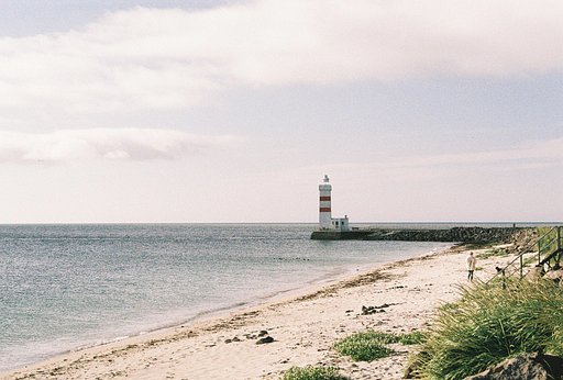
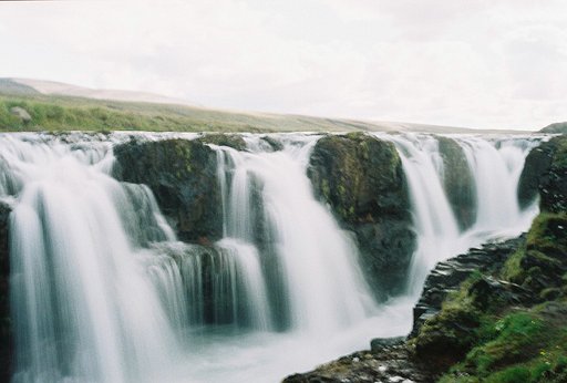
A partir de la route 1, route 417 qui se transforme en piste pour rejoindre la route 42. LA traversée de la péninsule d'Est en Ouest multiplie les paysages, champs de lave, "coulée chaotique", lacs ( kleifarvatn, Graenavatn), zones géothermique de seltùn, et ce jusqu'à Grindavik. En remontant, le long de littoral, côte à falaise où viennent s'écraser les vagues ( brimketill) , jusqu'à Gardur et sa plage de sable blanc. (Google translation) From Route 1, Route 417 which turns into a track to join Route 42. The crossing of the peninsula from East to West multiplies the landscapes, lava fields, "chaotic flow", lakes (kleifarvatn, Graenavatn), Seltùn geothermal areas up to Grindavik. Going up, along the coast, cliff to coast where crashing waves (brimketill), to Gardur and its white sand beach.
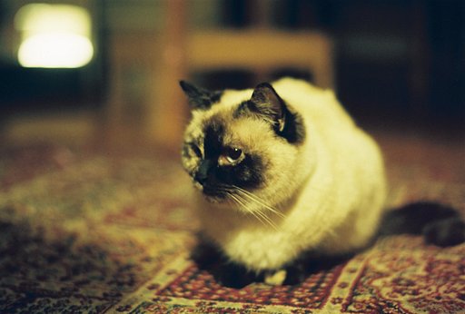
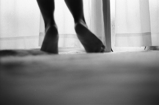
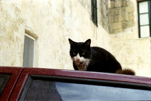
She is the most reasonable individual in our house. Also I think she has played a very significant role in my life. She’s a little selfish and not a lap cat but we accepted her as she is. She'll be gone by soon from our lives but the important thing is we've touched each others lives. We are glad to meet her. / I have done this serial with being unaware of it. In this past 6 to 10 months, "lost" has found me. I wonder if could what lost is become old? I have no idea. Could what was photographed, what stayed in picture get lost from someone's life?... In a way, these photos found each other. Also in one sense, those shots took photography of me. I'm lucky that the light found its way to illuminate these beings, that I was able to record, save and keep their visual reflections as well. It's a blessing to save what has lost. These are the photos of things that I didn't lose but I was on the verge of losing when they had been taken. Some of them are already gone, some just come within an inch of being gone. To the memories I'm on the verge of! Cheers! #cat #animals #carpet #bohemian #persian #red #green
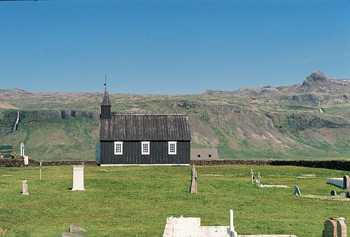
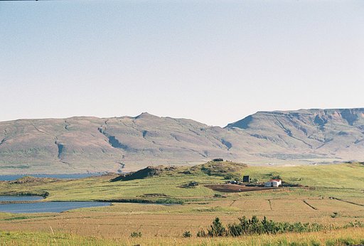
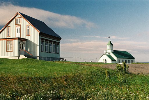
Le long de la route 47 s'allonge le "Fjörd des baleines". Ancien passage obligé pour se rendre de Reykjavik au nord. Aujourd'hui le tunnel d'Akranes laisse le fjörd à l'écart du flux de circulation.
La région du lac Myvatn comprend plusieurs centres d'intérêt : La zone volcanique du Krafla, dernière zone d’activité autour du lac, le site de Dimmuborgir , spectaculaire champ de lave avec notamment les célèbres « châteaux de lave », et l’impressionnant site géothermique de Hverir , situé au Nord-Est du lac Mývatn et surplombé par le mont ocre Námafjall. Le H2S emplit l'air, on marche entre les solfatares, les marmites de boue, sur un sol ocre souffré. L'ascension du mont est rude dans ses premiers mètres et la respiration courte, mais la vue vaut la sueur dépensée. La descente côté sud est risquée, le chemin disparait au milieu des scories, on se prend à imiter le skieur pour rejoindre le bas. A éviter par temps de pluie. (google traduction) The Myvatn Lake area includes several points of interest: the Krafla Volcanic Zone, the last activity zone around the lake, the Dimmuborgir site, a spectacular lava field with the famous "lava castles", and the impressive Hverir geothermal site, located north-east of Lake Mývatn and overlooked by the Námafjall ocher mountain. The H2S fills the air, one walks between the solfatares, the pots of mud, on a soil ocher suffers. The ascent of the mountain is rough in its first meters and the breathing short, but the view is worth the sweat spent. The descent south side is risky, the path disappears in the middle of slag, one starts to imitate the skier to reach the bottom. To avoid in rainy weather.
A partir de la route 1, route 417 qui se transforme en piste pour rejoindre la route 42. LA traversée de la péninsule d'Est en Ouest multiplie les paysages, champs de lave, "coulée chaotique", lacs ( kleifarvatn, Graenavatn), zones géothermique de seltùn, et ce jusqu'à Grindavik. En remontant, le long de littoral, côte à falaise où viennent s'écraser les vagues ( brimketill) , jusqu'à Gardur et sa plage de sable blanc. (Google translation) From Route 1, Route 417 which turns into a track to join Route 42. The crossing of the peninsula from East to West multiplies the landscapes, lava fields, "chaotic flow", lakes (kleifarvatn, Graenavatn), Seltùn geothermal areas up to Grindavik. Going up, along the coast, cliff to coast where crashing waves (brimketill), to Gardur and its white sand beach.